UK cities - Bildbanksillustration
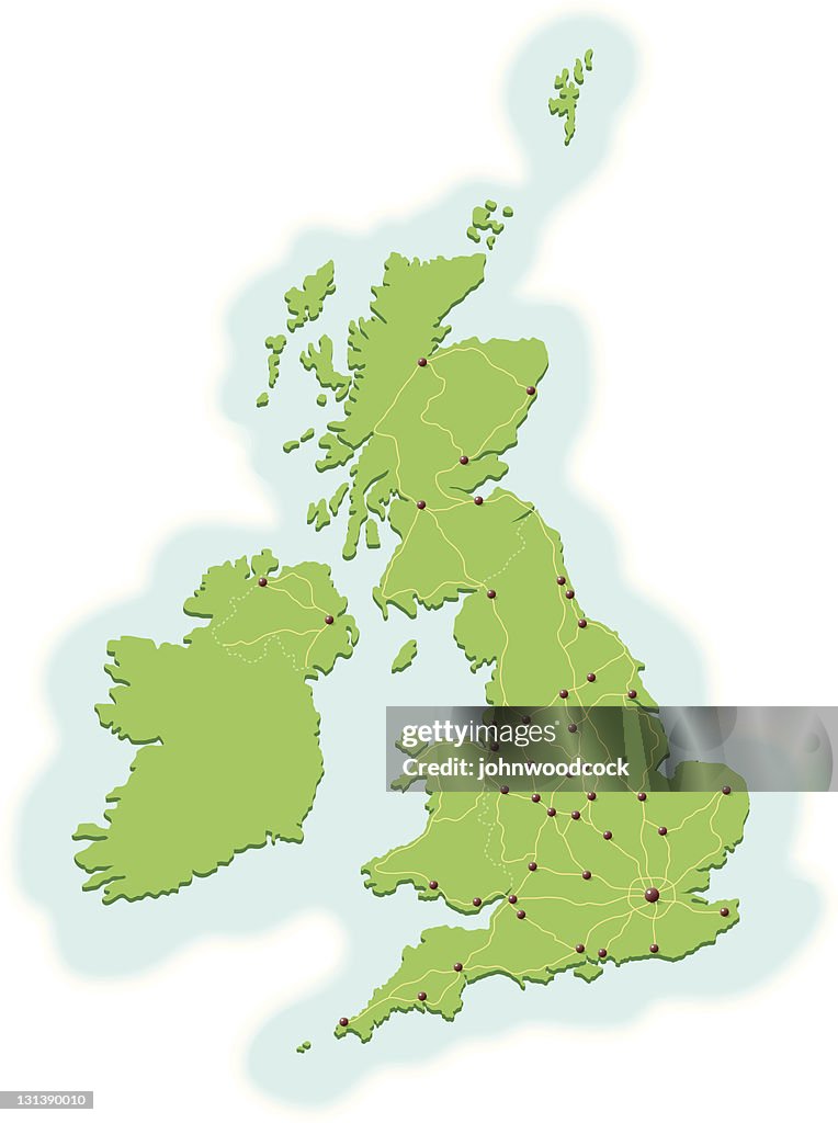
A map of the United Kingdom, showing most major cities and the connecting road network. There are 6 layers to aid editing. Although the cities are not named it's easy to find them on the link to the reference map below.

Få denna bild med flera olika inramningsalternativ på Photos.com.
KÖP EN LICENS
Alla royaltyfria licenser inkluderar globala användningsrättigheter, omfattande skydd, enkel prissättning med volymrabatter tillgängliga
kr 2,800.00
SEK
Getty ImagesUk Cities, Bildbanksbilder Hämta autentiska bildbanksillustrationer i premiumkvalitet på UK cities från Getty Images. Utforska liknande, högupplösta bildbanksillustrationer i vår omfattande katalog.Product #:131390010
 Hämta autentiska bildbanksillustrationer i premiumkvalitet på UK cities från Getty Images. Utforska liknande, högupplösta bildbanksillustrationer i vår omfattande katalog.Product #:131390010
kr2,800kr350
Getty Images
In stockINFORMATION
Upphovsman:
Kreativ fil nr:
131390010
Licenstyp:
Samling:
DigitalVision Vectors
Högsta tillåtna filstorlek:
3524 x 4725 bpkt (29,84 x 40,01 cm) - 300 dpi - 1 MB
Uppladdningsdatum:
Releaseinformation:
Modell- och egendomsrelease
Kategorier:
- Karta,
- Storbritannien,
- Storstad,
- Väg,
- Flerfilig motorväg,
- Illustration,
- Berömd plats,
- Birmingham - England,
- Bristol - England,
- Cardiff - Wales,
- County of Bristol,
- Edinburgh,
- England,
- Exeter - England,
- Genomfart,
- Glasgow - Skottland,
- Hull,
- Inga människor,
- Irländsk kultur,
- Leeds,
- Liverpool - England,
- London - England,
- Manchester - England,
- Newcastle-upon-Tyne,
- Nordirland,
- Norwich - England,
- Portsmouth - England,
- Republiken Irland,
- Resande,
- Riktning,
- Skotsk kultur,
- Skottland,
- Swansea - West Glamorgan,
- Tvåfilig motorväg,
- Vektor,